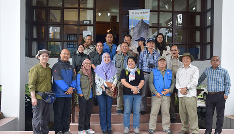
Malaysia Geopark Network Conference
This prestigious event will take place at the Marriott Hotel, Kota Kinabalu, on 22-23 May 2025, where esteemed delegates and geopark experts from across Malaysia and beyond will gather to share insights, best practices, and innovations in geopark management, geotourism, community empowerment, and conservation.
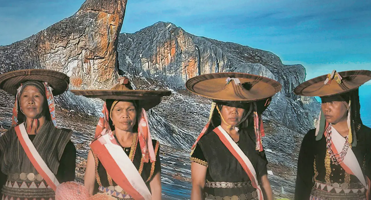
As a celebration of local culture and heritage, the conference continues with Tamu Geopark, a vibrant public outreach programme held at Pekan Kundasang on 24-25 May 2025. Visitors will experience the richness of Sabah's indigenous culture, traditional handicrafts, local produce, and geoproducts highlighting the essential role of communities in sustaining geoparks.
Agenda
Programme Schedule
What is UNESCO Global Geopark?
UNESCO Global Geopark are single, unified geographical areas where sites and landscapes of international geological significance are managed with a holistic concept of protection, education and sustainable development.
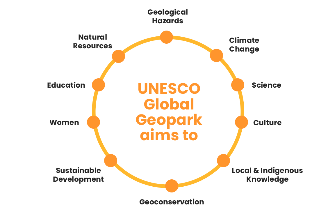
During the 38th UNESCO General Conference on the 17th November 2015, the 195 Member States of UNESCO ratified the creation of the new label, UNESCO Global Geoparks. The recognition expresses the importance of managing outstanding geological sites and landscapes in a holistic manner by the governmental bodies.
UNESCO Global Geopark
At present, there are 177 UNESCO Global Geoparks in 46 countries. UNESCO’s Executive Board has approved the designation of 8 new UNESCO Global Geoparks.
- Seridó UNESCO Global Geopark, Brazil
- Southern Canyons Pathways UNESCO Global Geopark, Brazil
- Salpausselkä UNESCO Global Geopark, Finland
- Ries UNESCO Global Geopark, Germany
- Kefalonia-Ithaca UNESCO Global Geopark, Greece
- Mëllerdall UNESCO Global Geopark, Luxembourg
- Buzău Land UNESCO Global Geopark, Romania
- Platåbergens UNESCO Global Geopark, Sweden
Kinabalu UNESCO Global Geopark Video
Watch a short video introduction on the Kinabalu UNESCO Global Geopark.
Kinabalu UNESCO Global Geoparks
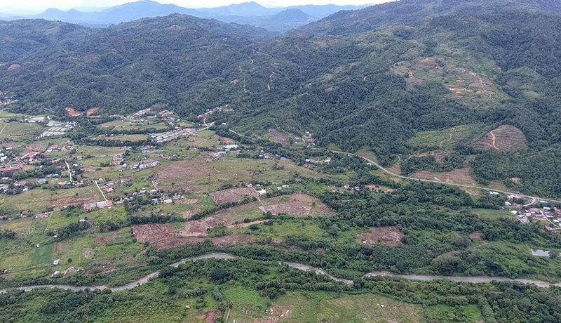
The Kinabalu UNESCO Global Geopark (KUGGp) is located in the north-western part of Sabah, Malaysia. The area covers three districts: Kota Belud, Kota Marudu and part of Ranau. The Kinabalu UNESCO Global Geopark covers an area of 4,750 km2. It covers the entire district of Kota Marudu (1,775 km2), Kota Belud (1,386.52 km2) and part of Ranau district (1,588 km2).
Read More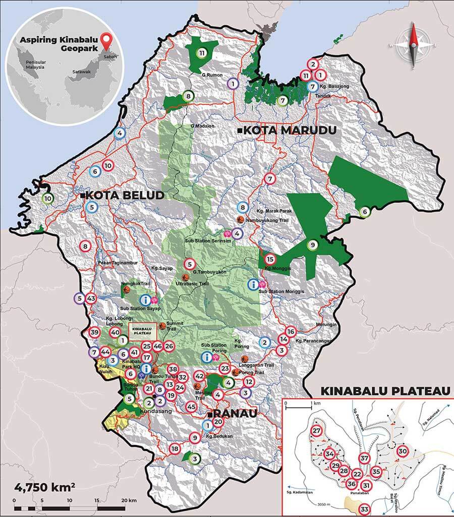
Main Geological Highlight & Other Elements
Geologically, the Kinabalu UNESCO Global Geopark contains the youngest granitoid intrusion in Southeast Asia (7-8 million years old) and an ophiolite sequence representing an ancient oceanic crust (130 million years old) which records the subducted Proto-South China Sea lithosphere. The intrusion has brought up an area over 4000 metres above the present-day sea level, creating an outstanding mountainous landscape. Glacial process on top of Mount Kinabalu during the last Ice Age created the most spectacular glacial landscape in the tropics. At the foothills of Mount Kinabalu, on the Pinousuk Plain forms the most extensive tilloid deposits in Southeast Asia as young as 10,000 years old. Presently, 46 established geosites constitute some of the geological heritage of Kinabalu, and they are what make the regional geological and landscape history unique.
Read More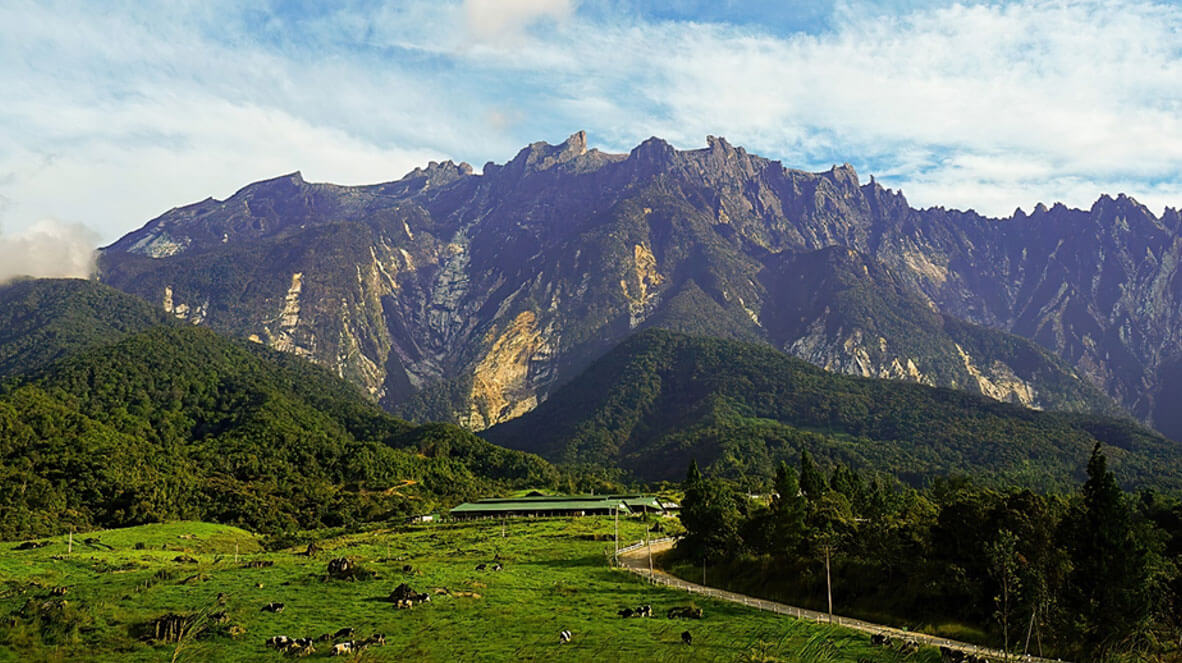
National Geopark
There are 8 National Geopark established in Malaysia and more still in development. To date only Langkawi Geopark has become a UNESCO Global Geopark.
- Langkawi UNESCO Global Geopark 2007
- Lembah Kinta Geopark 25 October 2018
- Jerai Geopark 24 November 2018
- Mersing Geopark 2019
- Kinabalu Geopark 18 March 2020
- Lenggong Geopark 16 December 2021
- Labuan Geopark 16 December 2021
- Sarawak Delta Geopark 20 June 2022
Activities
Sabah gets UNESCO Triple Crown title